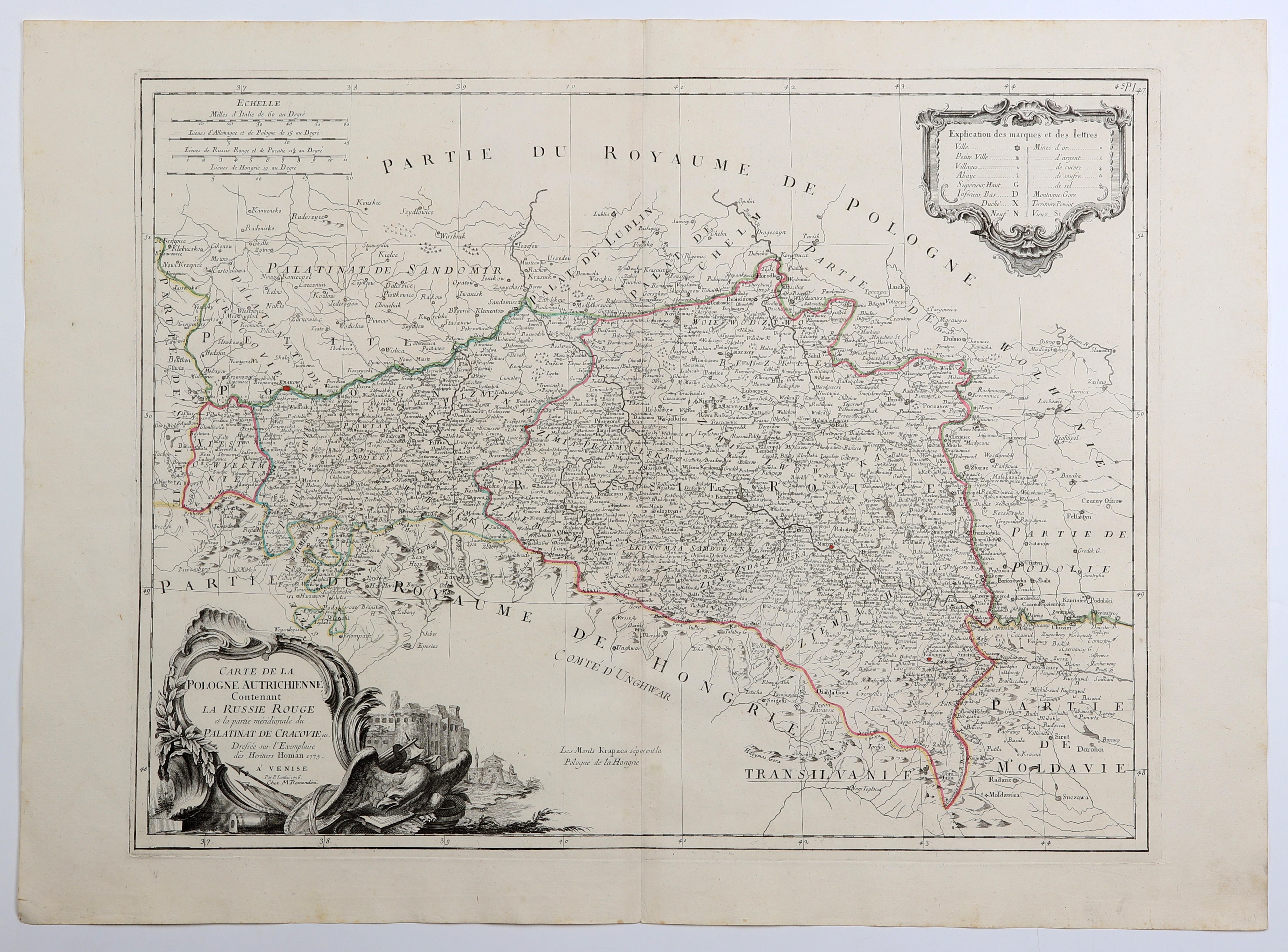
KRAKÓW, MAŁOPOLSKA, RED RUSSIA, HUNGARY. A map of southern Polish lands with Krakow, as well as Ruthenia....
add您的笔记create
拍品说明
KRAKÓW, MALOPOLSKA, RED RUSSIA, HUNGARY. Map of southern Polish lands with Cracow, as well as Red Ruthenia; compiled. by the Homann Heirs in 1775, later included in P. Santini's atlas, 1776; copper. with line coloring, condition bdb.; plate dimensions 600x460 mm; CARTE DE LA POLOGNE AUTRICHIENNE Contenant LA RUSSIE ROUGE et la partie méridionale du PALATINAT DE CRACVIE, etc.; RARE!