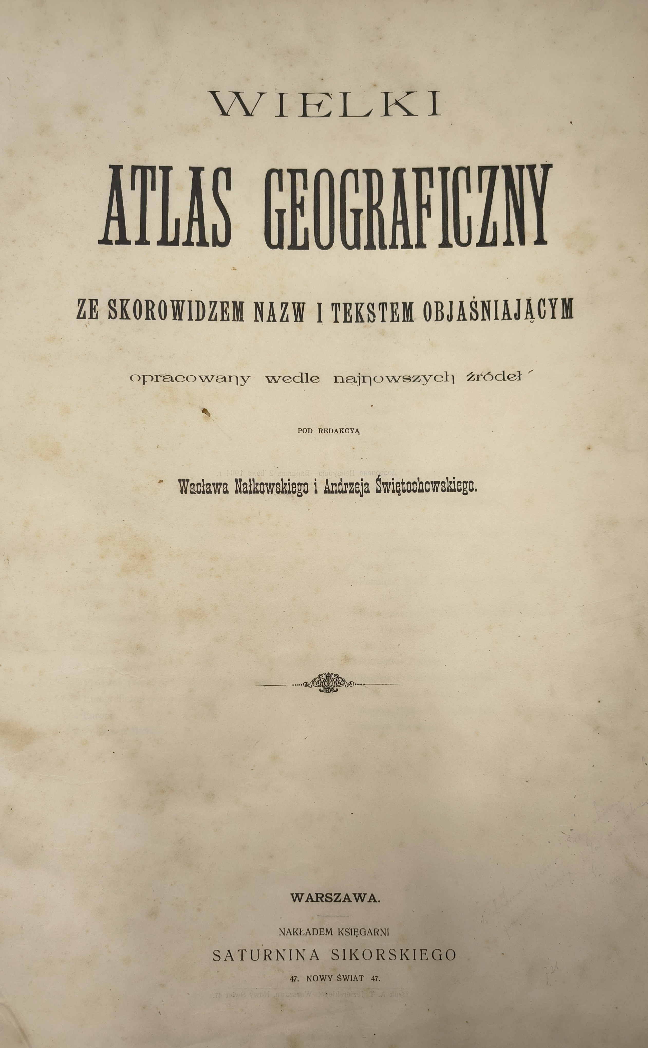
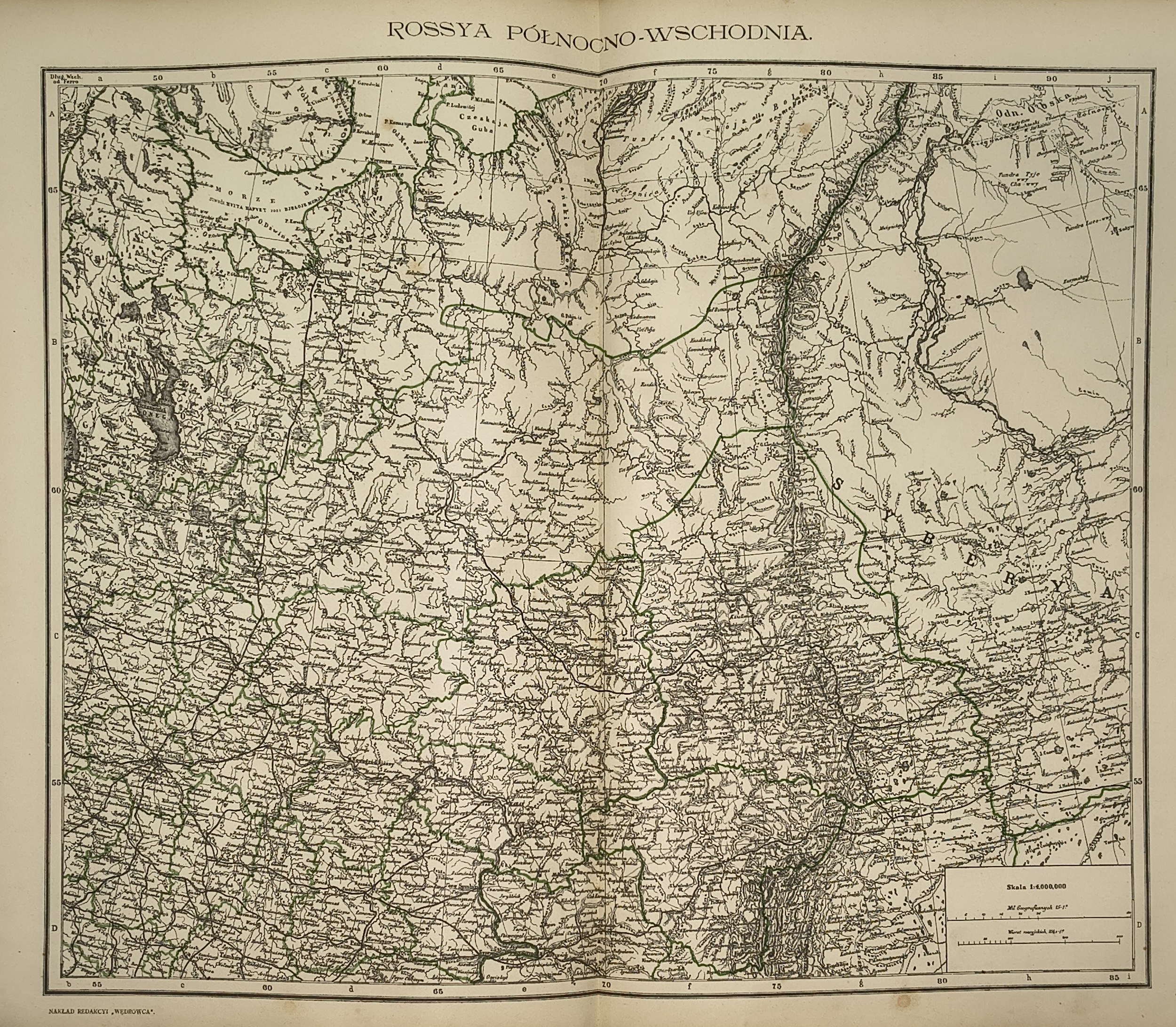
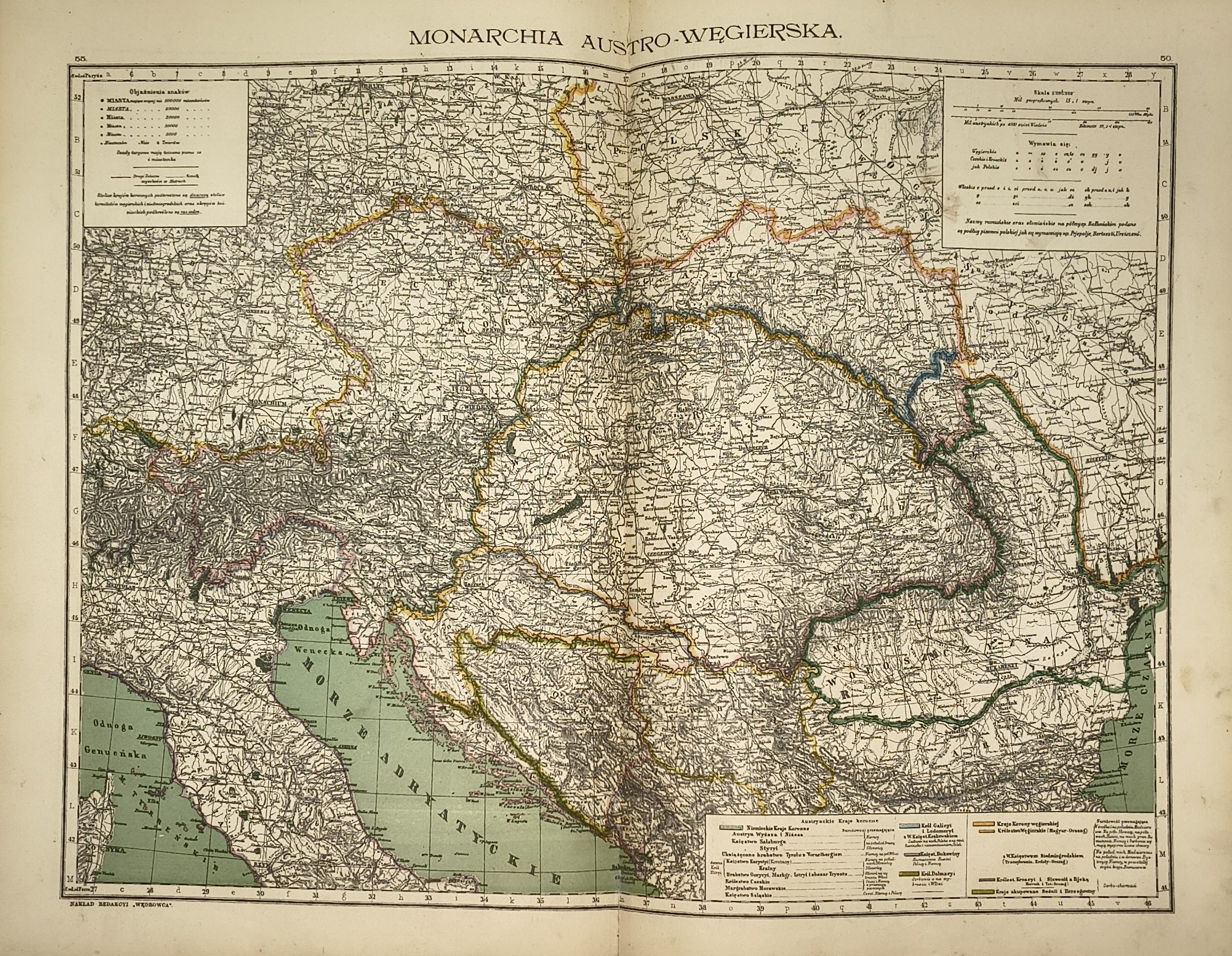
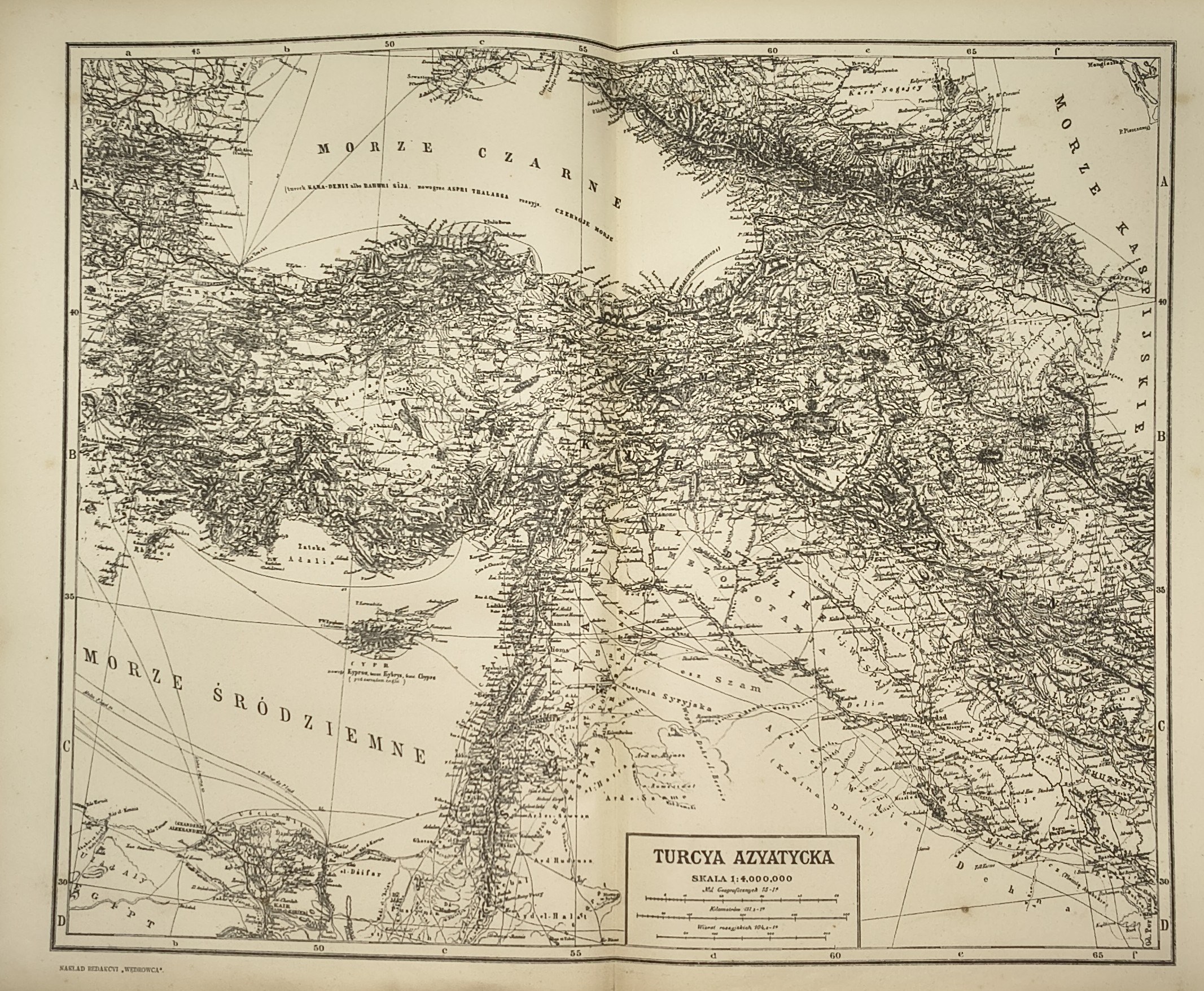
THE GREAT GEOGRAPHICAL ATLAS with an index of place names and explanatory text
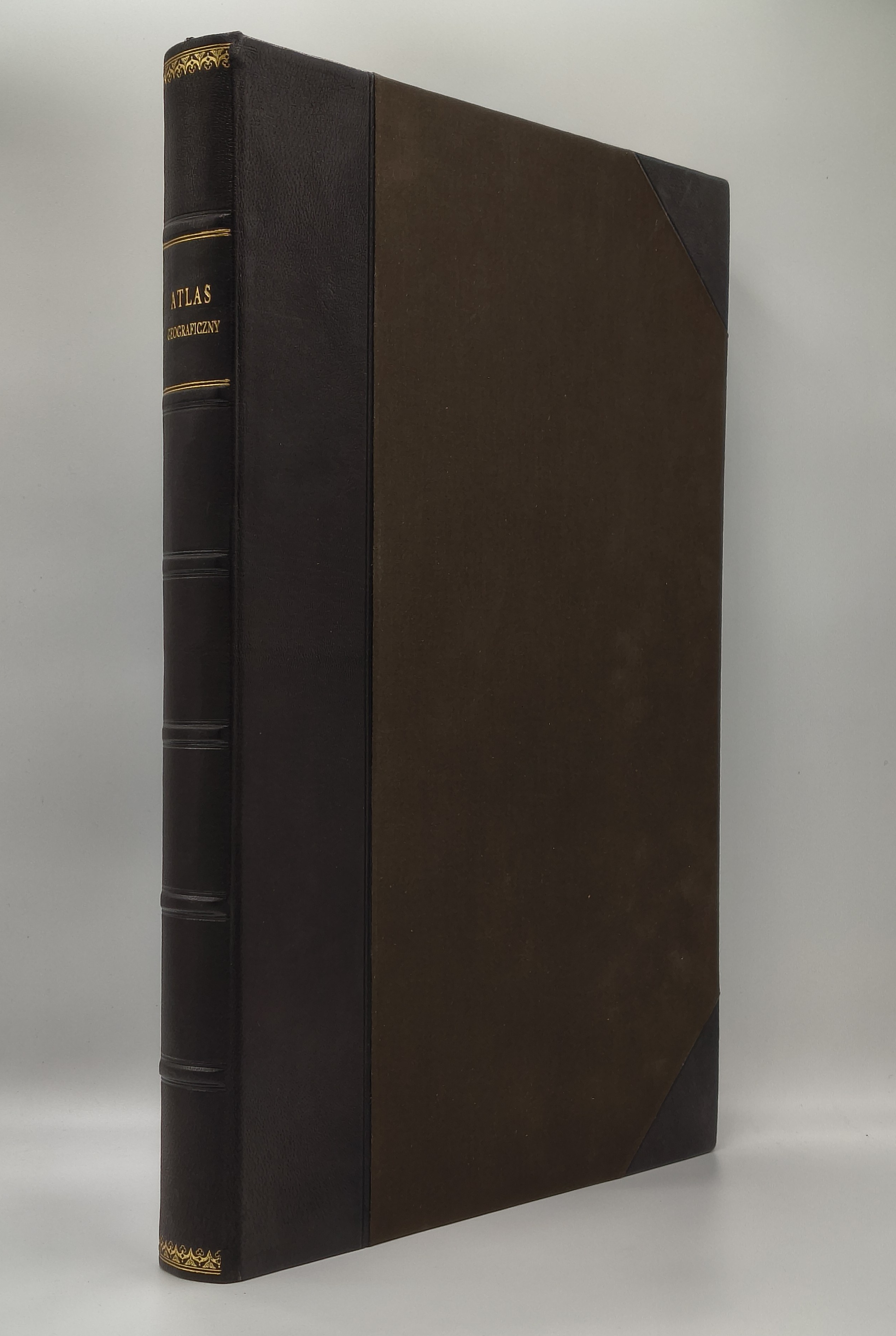
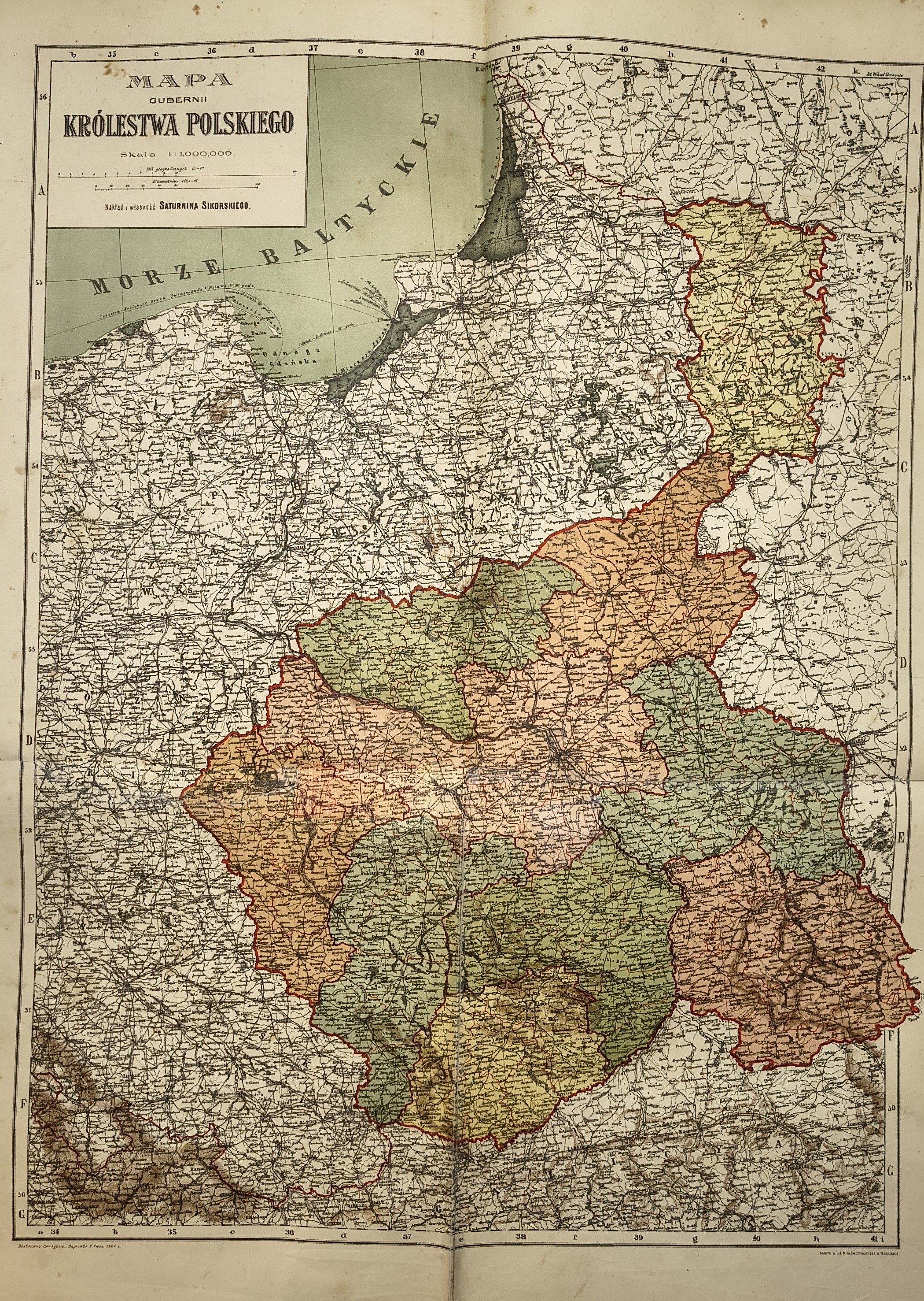
Compiled from the latest sources, edited by Wacław Nałkowski and Andrzej Świętochowski. Published by Saturnina Sikorskiego’s Bookstore, Warsaw 1904. Dimensions: 51x35 cm; pages—title page, a set of 53 color lithographic spreads, pp. [4, 203] (index, text). Contemporary half-leather binding (glued-in missing sections and tears in the pages, particularly in the maps of the Governorates of the Kingdom of Poland; crease marks on the pages; a few stains).
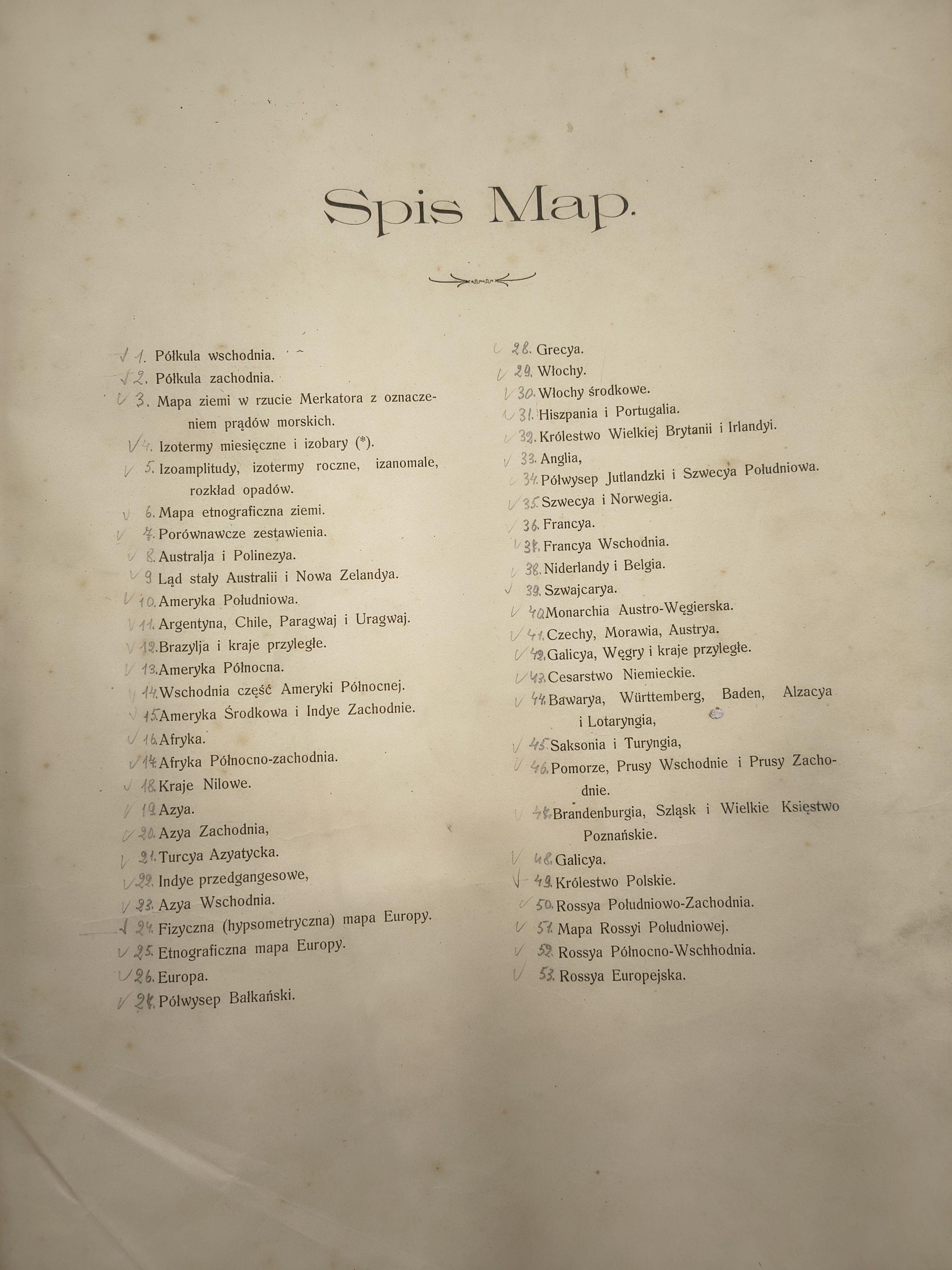
The atlas was based on the third edition of Kiepert’s large German atlas from 1892–1900, supplemented in the Polish edition with climate maps of the world, ethnographic maps of Europe and the world, as well as maps of Galicia and the Kingdom of Poland. Each map was accompanied by a separate index with geographical names adapted to Polish. The atlas was published in installments by subscription between 1897 and 1906 (the official year of 1904 corresponds to the date of Russian censorship). The installments did not follow the order of the numbered plates, and the table of contents at the beginning of the work, in turn, did not correspond to the page numbering. This was the result of the publishers changing their editorial concept under the influence of the geographer W. Nałkowski. According to the table of contents, the publication comprises a total of 53 map plates (counted as two when unfolded due to the numbering system used).