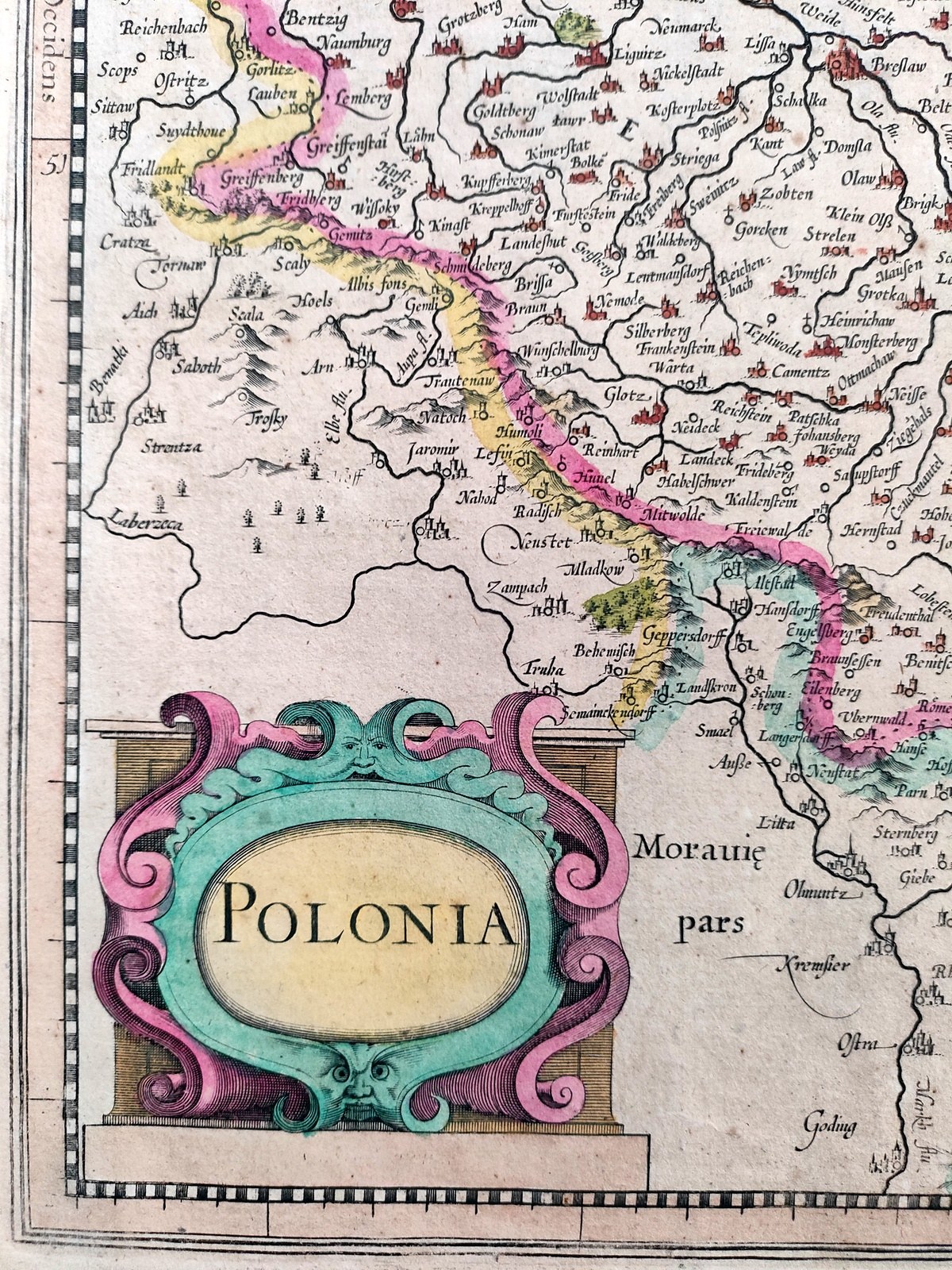
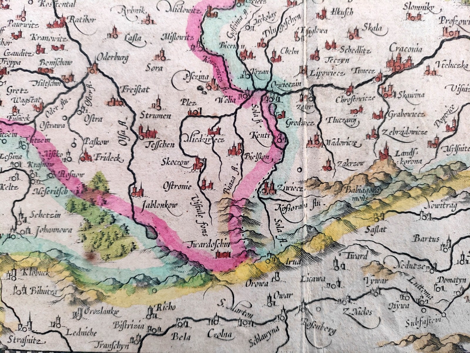
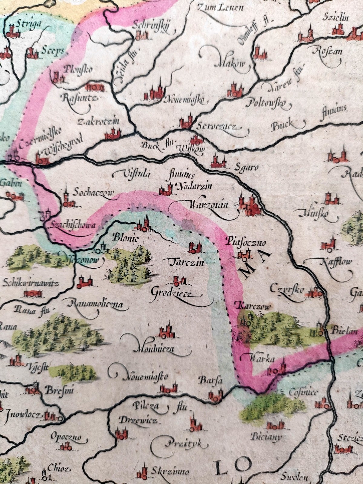
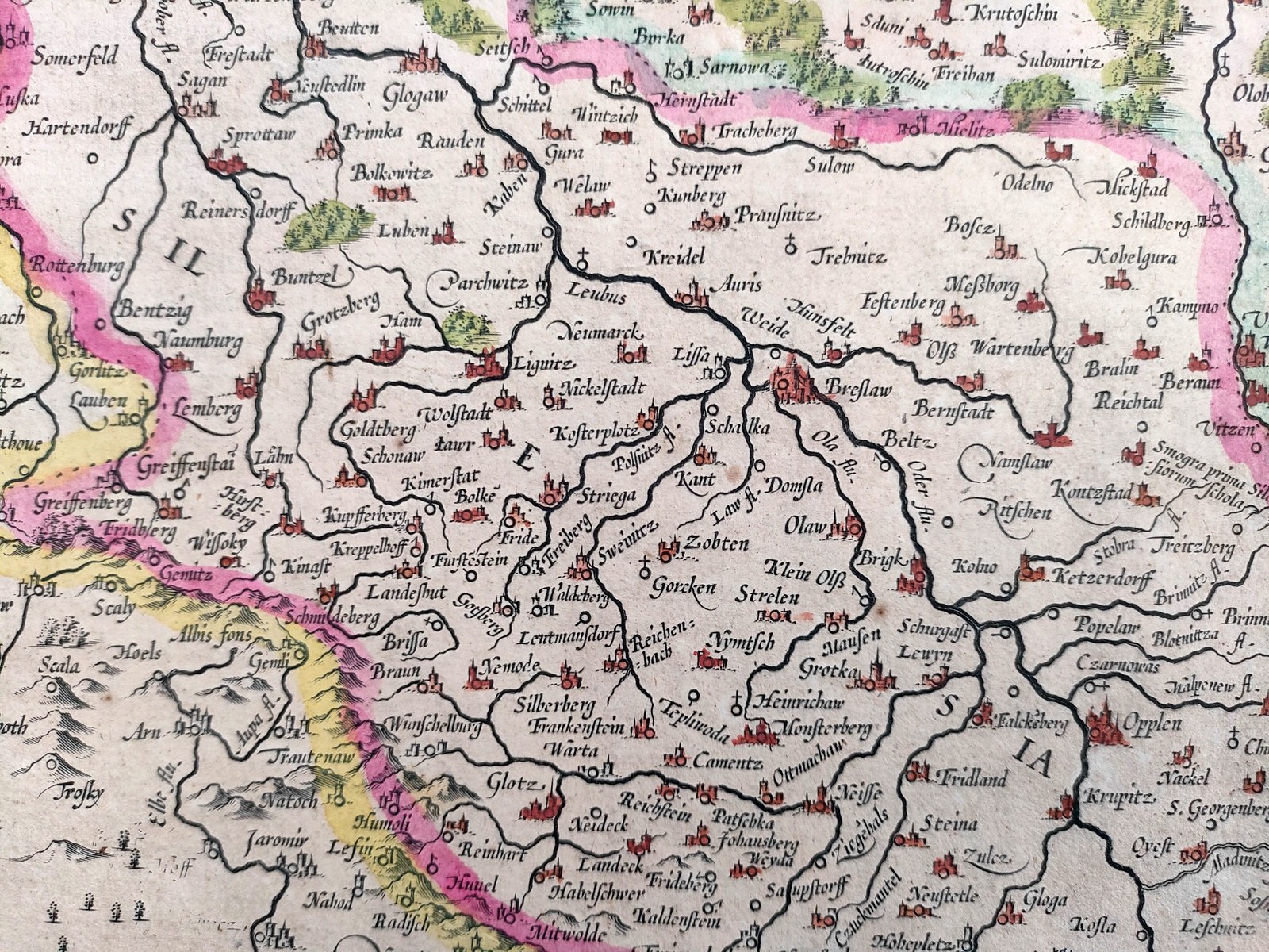
POLONIA - map of Poland and Silesia - copperplate hand-colored in period - Amsterdam 1636
Theauthor of the map is the leading sixteenth-century cartographer Gerard Mercator (1512 - 1594) - geographer and mathematician, of Flemish origin.
The piece on display comes from the workshop of engraver and publisher Henricus Hondius II (1597 -1651), who acquired Mercator's original copperplate and used it from 1606. From around 1640, the state replaced it with another map.
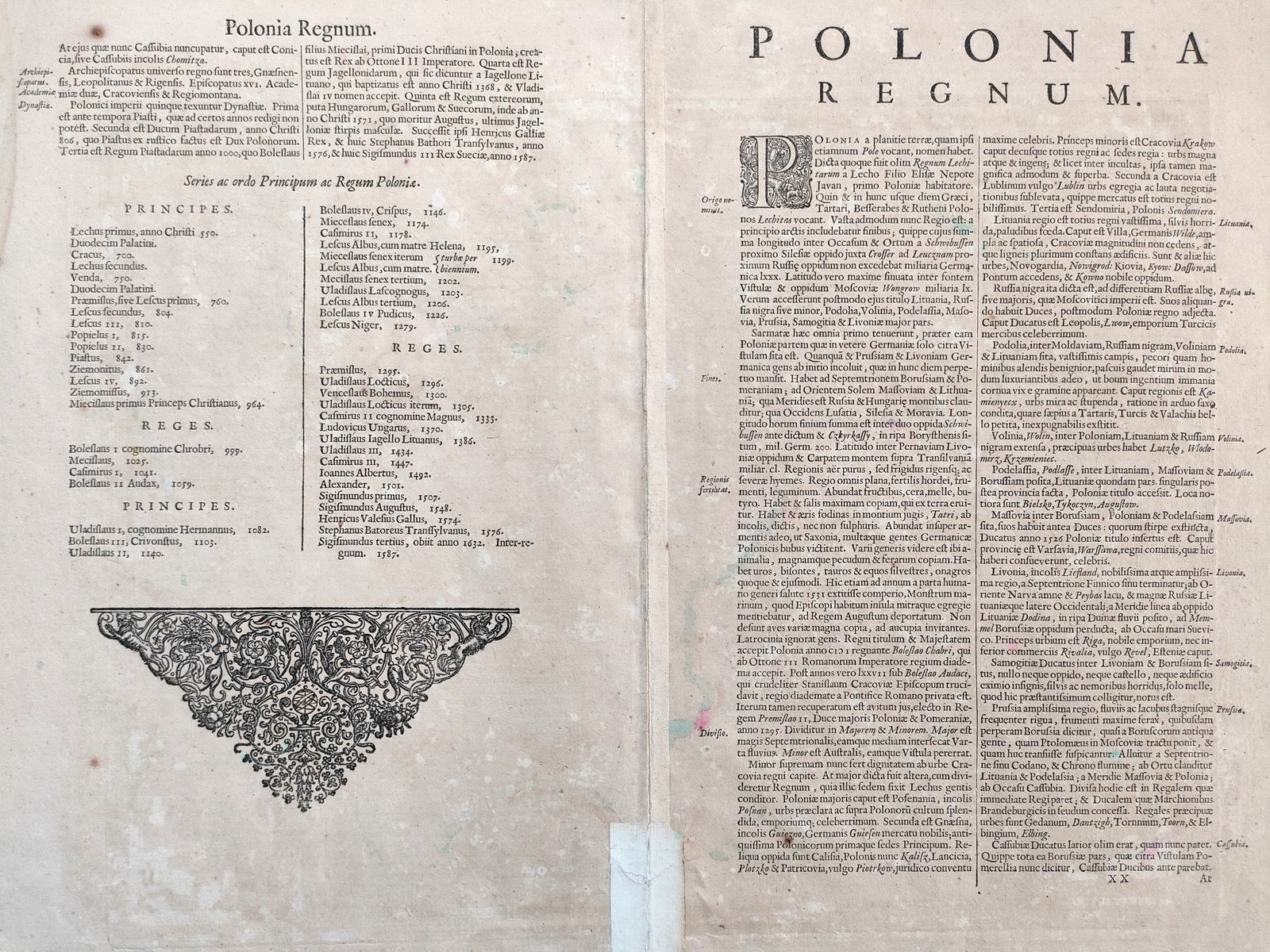
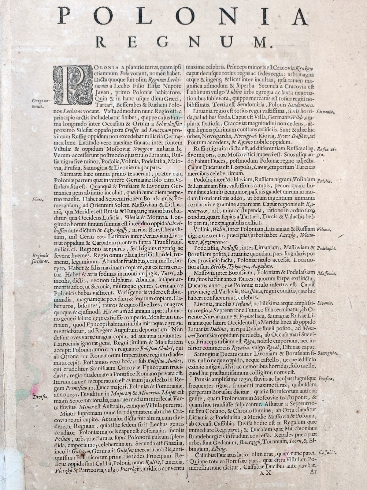
On the back is a text in Latin - a description of the Kingdom of Poland [ Polonia Regnum ] from the beginnings of the State ( mention of calling Poland - Regnum Lechitarum - the kingdom of the sons of Lech), through descriptions of the various regions of the country: Lithuania, Pomerania, Mazovia, Kashubia their history, terrain, deposits of raw materials, geology [ words about the copper mine in the Tatra Mountains], fertility of soils, types of crops, trade [ Lviv - the capital of Turkish goods ]. The text ends with a list of archdioceses, a description of dynasties and a chronological list of Polish rulers trimmed with a large woodcut rosette .
Handmade paper, small browning, understamping at the bottom. Good condition.
Format : 34.5 x 45.3 cm, (board : 51.3 x 59 cm).
A large, colorful seventeenth-century map derived from the most outstanding work of cartography of the time and a primary source for other maps of Poland from that period.