


Die Hohe Tatra in den Central-Karpaten.
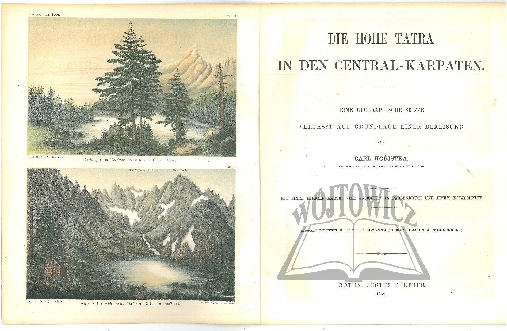
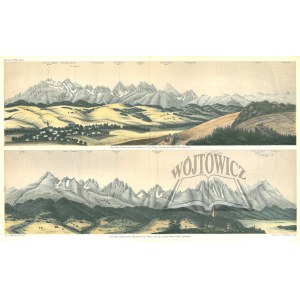
Eine geographische Skizze verfasst auf Grundlage einer Bereisung. Gotha 1864 Justus Perthes. 28 cm, pp. [4], 36, 2 plates (color lithographs, including 1 double-page spread, according to a drawing by the author, excerpted by C. Hellfarth, Gotha); map (color lithographs, signed C. Hellfarth, Gotha), cover missing.
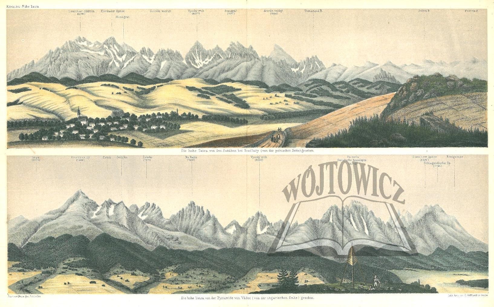
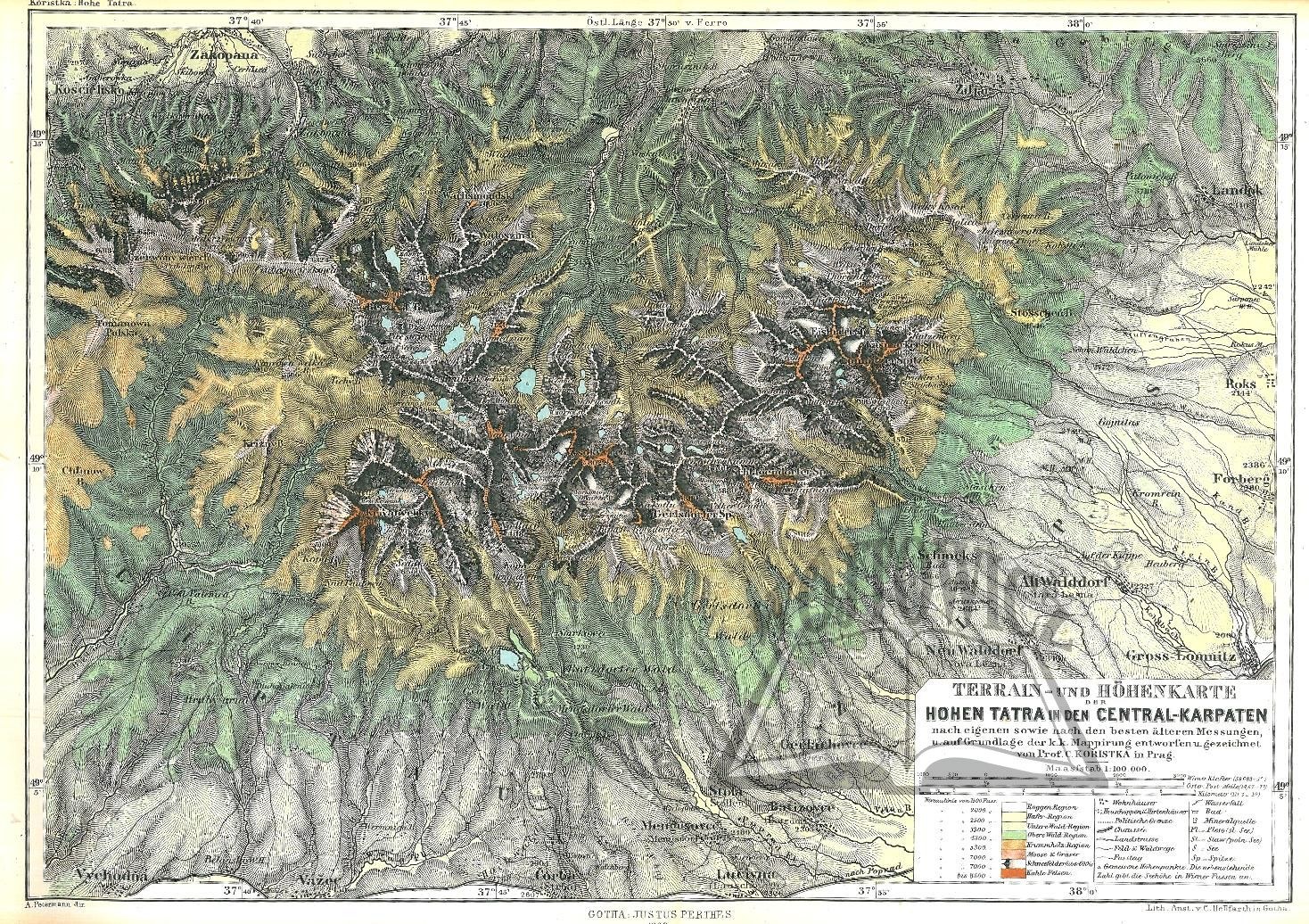
This is one of the most important geographical works of the 19th century on the Tatra Mountains. Karl Kořistka (1825-1906), a Czech surveyor and professor at the Technical School in Prague, created the monograph based on his own research trip. The engravings depict the Tatra ponds and two panoramas of the mountains. Noteworthy is one of the most important Tatra maps of the 19th century, made by the book's author on the basis of his own measurements and Austrian military photographs from 1840-1864. The map received the highest honor at the Cartographic Exhibition in Paris in 1875.Witold Henryk Paryski considers it the best among Tatra maps made between 1830 and 1879.This work is a significant contribution to the geographical research of the Tatra Mountains and is valued for both its scientific and artistic value. Today, original pieces of this publication are rare and are valuable collector's items. condition b. good. very rare.





最近浏览过的
登录以查看拍品列表
收藏
登录以查看拍品列表