


Topographia Bohemiae, Moraviae et Silesiae,
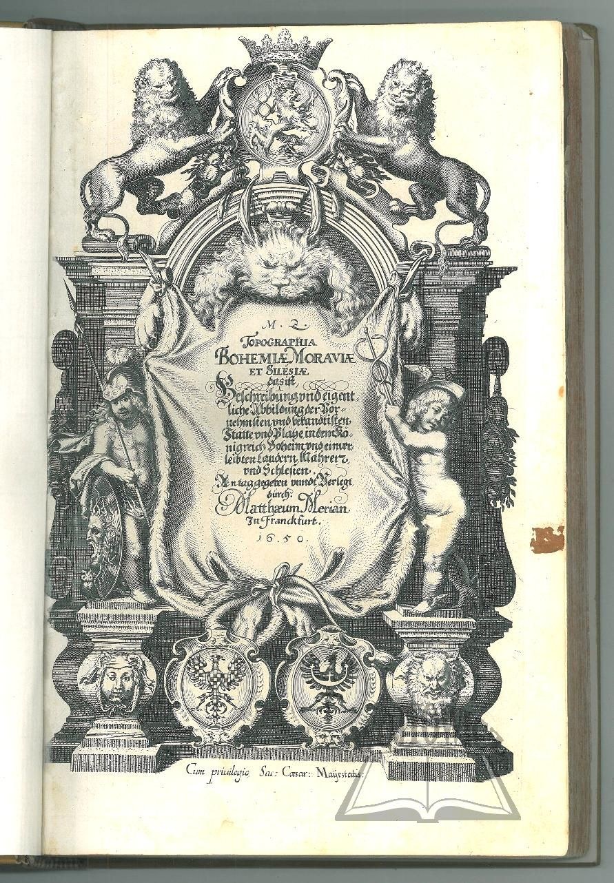
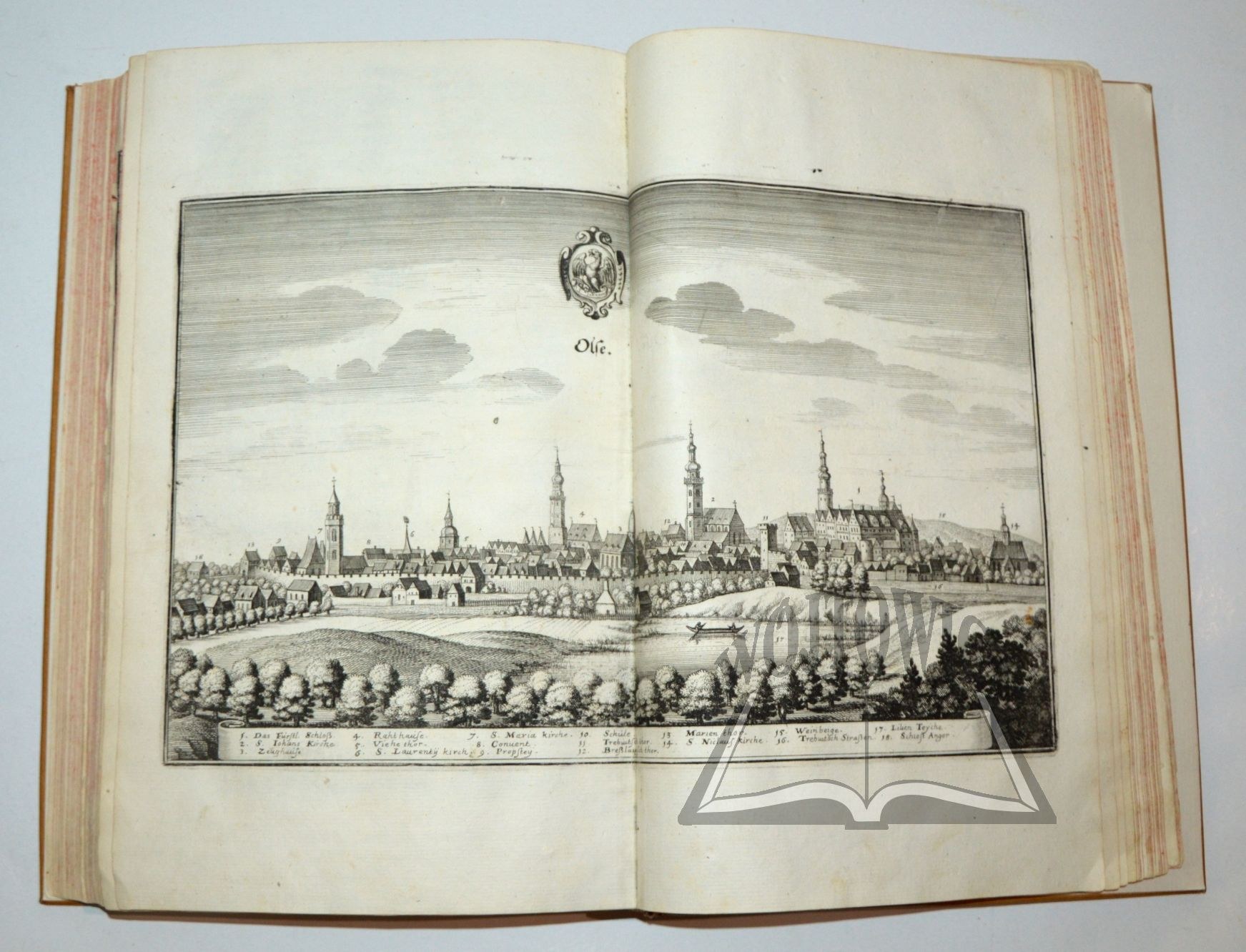
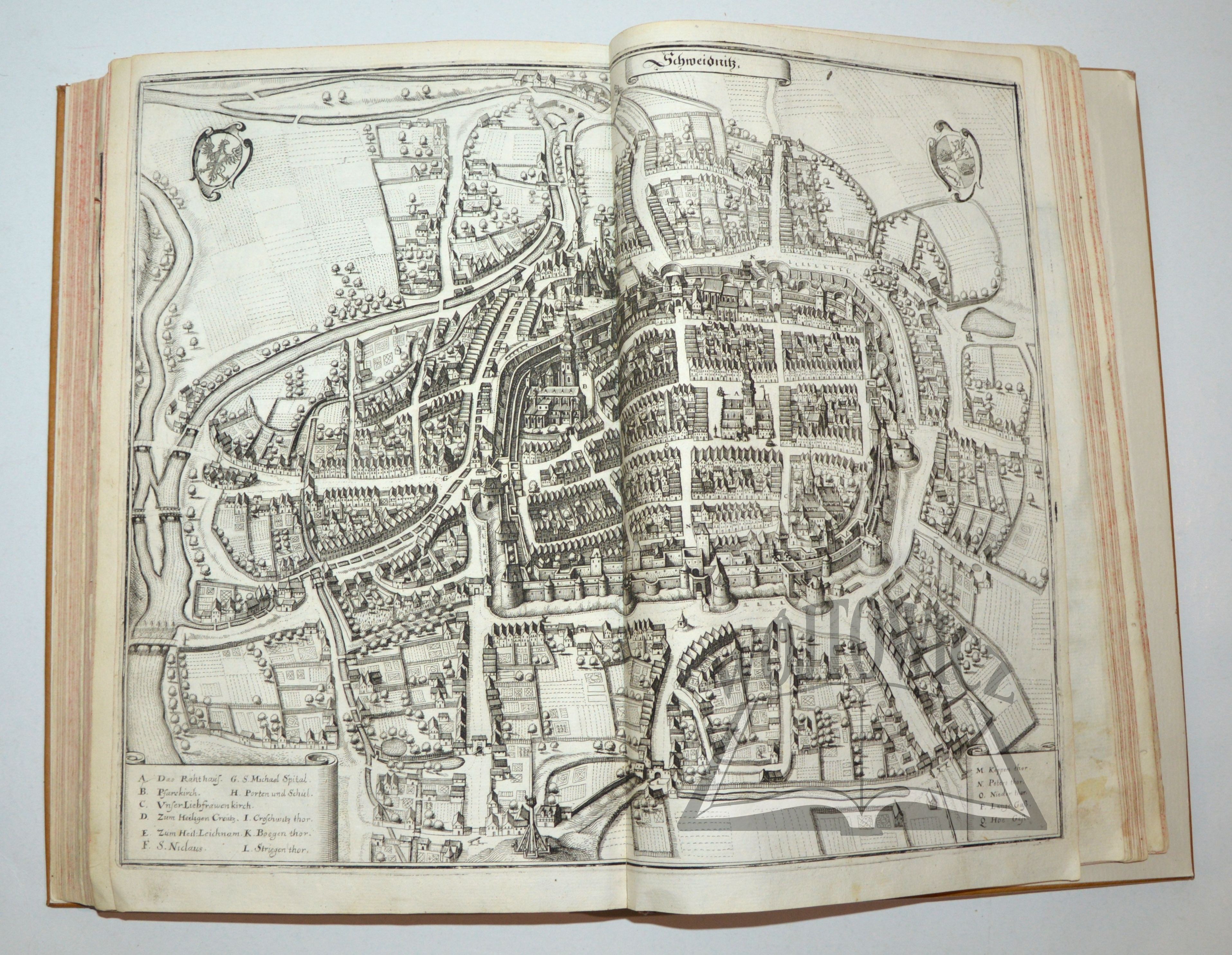
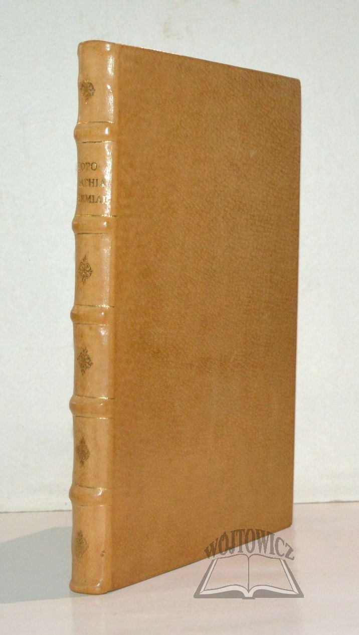
a description and accurate depiction of the most distinguished and well-known sites and places in the Kingdom of Bohemia and its incorporated territories, Moravia and Silesia. Frankfurt, 1650. Published by Matthaeum Merian. (30.5 x 20 cm), frontispiece (copperplate engraving), pp. 3–192, [18], 3 maps (fold-out copperplate engravings), 32 illustrated plates (should be 33, double-page copperplate engravings, including fold-outs), contemporary leather binding
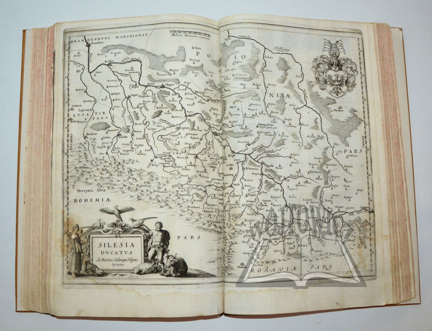
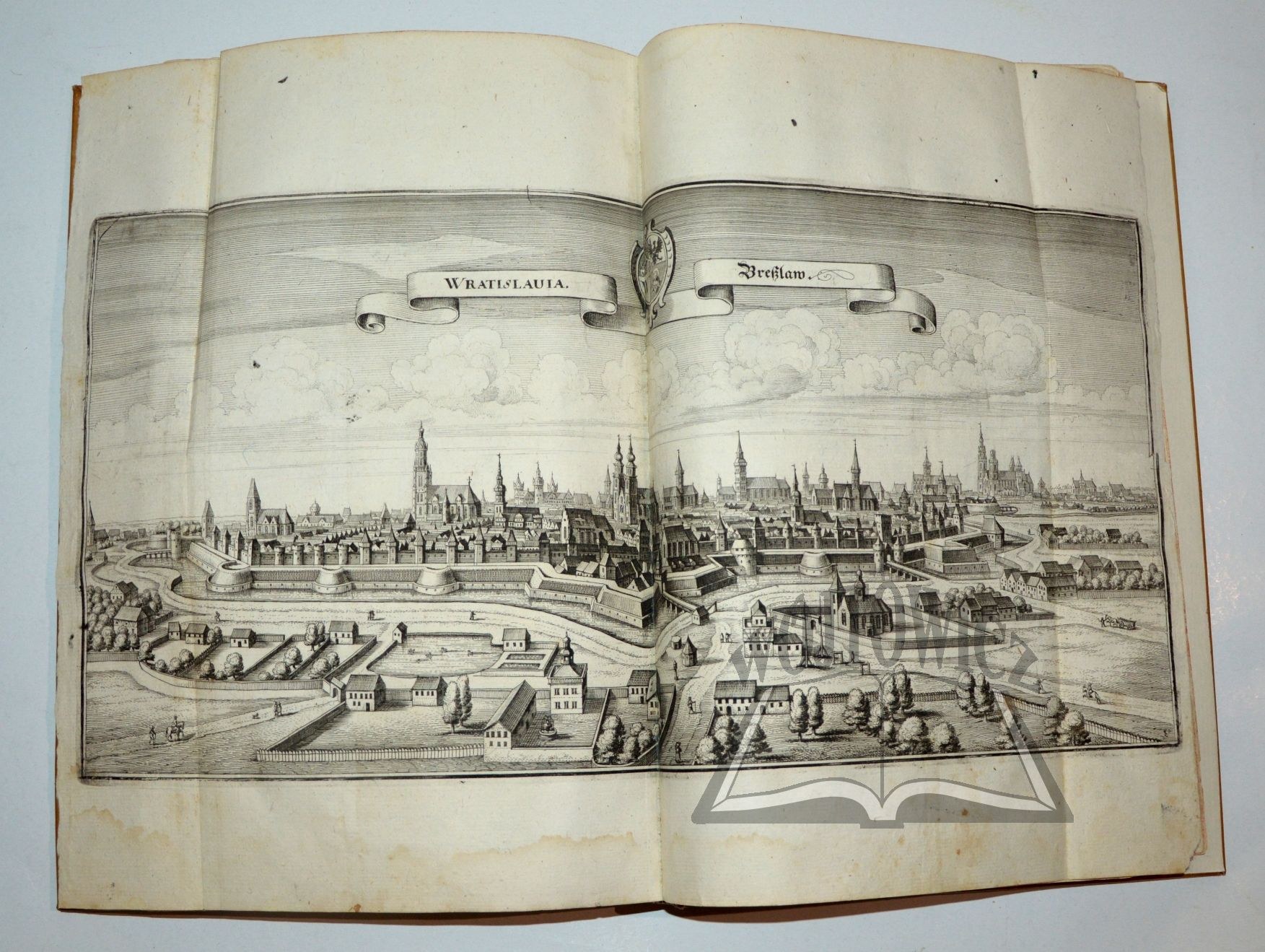
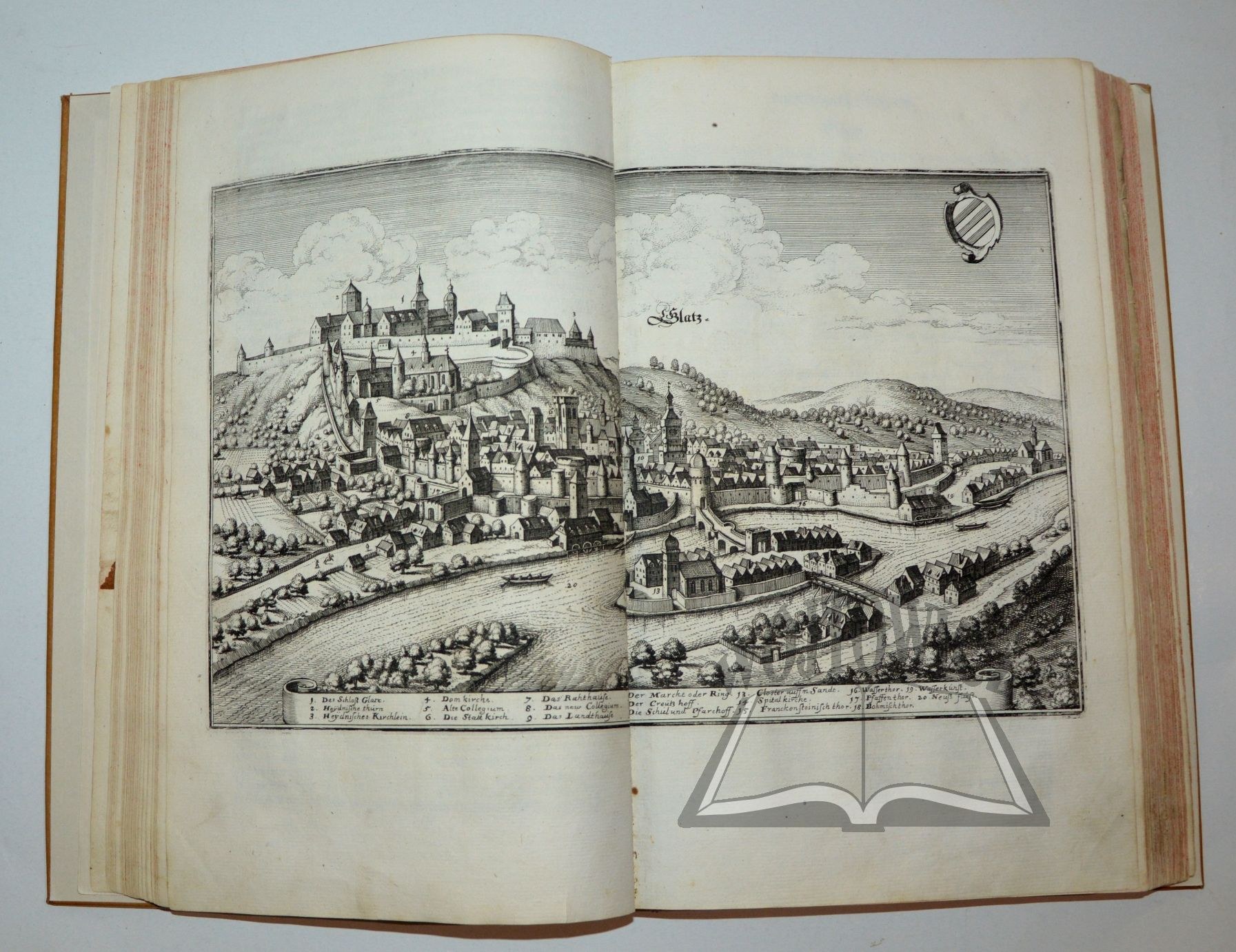
(No title page). This is the first edition of a monumental topographical work devoted to Bohemia, Moravia, and Silesia, part of a major geographical series dedicated to the countries of Europe. It contains descriptions of over 300 cities, maps of Moravia and Silesia with decorative cartouches and coats of arms, as well as numerous historical and geographical notes. Of particular value is the superb iconography of Silesian cities, including a large fold-out panorama and a map of Wrocław, as well as views of Głogów, Kłodzko, Legnica, Nysa, Oleśnica, Opole, Świdnica, Cieszyn, and Żmigród. The copperplate engravings were created by Matthäus Merian (1593–1650), one of the most outstanding engravers of the Baroque era; the text was compiled by Martin Zeiller (1589–1661), a geographer, historian, and polymath. One panorama of Prague is missing. Some plates have tears; a few have minor losses in the margins; there is slight discoloration in places; otherwise, the book is in good condition. Binding: light brown leather, embossed and gilded spine, fresh endpapers. Rare.











最近浏览过的
登录以查看拍品列表
收藏
登录以查看拍品列表